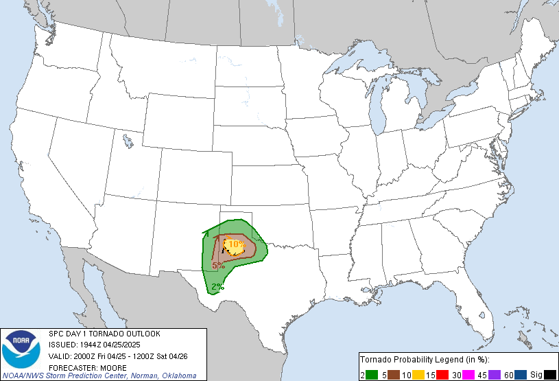
Today was setting up for a mesoscale convective system in the Dakotas in the evening hours. I had downloaded models the night before and they seemed to suggest an isolated supercell or two ahead of the main convective cluster. SPC had put out a slight risk, with a 2 to 5 percent chance of tornadoes, as well as a risk for large hail. We were to head north into central South Dakota today. Ron and I really liked what we were seeing. There was convergence in the central Dakotas, with winds coming from the northwest colliding with southeast backing winds. The backing winds were quite strong today, gusting to about 20 knots. If the trough came in later, we would just set ourselves up for some lightning photography. Of course I don't mind since I am using my new Tamron lens for the first time chasing. Hopefully I will say goodbye to blurry lightning shots!
Going through Cherry county in Nebraska, we saw signs of horizontal vorticity. Some cumulus clouds were starting to curl and form transverse rolls. On the way north, we stopped at a scenic lookout. It was quite a nice view from on top of there. We ate a small lunch in Valentine and continued north. It was going to be a long haul after today's chase to get down south to the Oklahoma panhandle for tomorrow.
In Murdo, South Dakota we booked hotel rooms at a Super 8 and waited for the cap to break. I downloaded a sounding and it looked like the cap was reading about 4 degrees C... which is pretty strong. On satellite, it looked like some towers were starting to go up in the southwest. Ron said the models had the trough coming through later in the evening... it was probably going to be too slow for supercells forming prior to sunset. We waited for a couple of more hours. There was a full halo around the sun for quite a while. Southeast backing winds were clocking a good speed. I figured if there were storms, the inflow winds would increase even more from being sucked in. We ate dinner at a nearby diner, looked in the gift shop and decided to haul west towards Rapid City shortly after 7 pm.
On our way west, we saw parts of the Badlands to our south. Quite an interesting place from what I could see... pointy mountain-like rocks off in the distance. The storms that went up in southwest South Dakota were finally coming into view. We could also see an anvil that was about 100 miles away to the northwest. We noted one inflow band coming from the north and another inflow band coming from the east. This little storm was about to be an interesting one.
We had the air conditioner on in the van, so Scott went to put his jacket on. He managed to get one sleeve in ok, but when he went to put his left arm in, he looked pretty tangled up. His jacket was wrapping around the seatbelt. Scott went on the radio and said to Ron "Houston we have a problem". He mentioned he was stuck to the van and had to pull off the interstate to fix his jacket issue. When Ron pulled up beside us, Sandra's face was priceless. She had that had that confused odd look. And then there was Ben, of course, filming away at this hilarious scene. When you travel for long hours on the road with Scott, you are guaranteed at least one good laugh every day.
Anyways... back to heading west. We eventually got a good view of the storm and pulled off the interstate to take some images. The inflow winds at this location were really kicking, combining the speeds of the backing winds plus the storm drawing them in, like I had thought it would. We noticed scud gathering just to our north. It developed into a rotating wall cloud, but it seemed a bit disorganized. It would fall apart and pull itself back together again for a few times. It never amounted to anything more. I decided to bring out the lightning rod, my tripod, to get some good video, while I snapped some pictures of the storm, which was now turning out to be more of a multi-teired shelf cloud. It made for a pretty interesting scene for a while, but that meant it was picking up forward motion speed. We had to haul ourselves further east to get ahead before the rain came. We all piled into the vehicles and shot east on the interstate. We saw people taking shelter under the overpass we were on. Once we got ahead of the storm, we pulled off the interstate once again near an overpass. It was getting darker out now, so I tried my take at lightning photography. Something I've been wanting to try since I got my new lens! Unfortunately with all the winds, it was quite difficult to keep the camera from shaking ever so slightly. I am glad I was standing behind it all the time because, at one time, the wind actually went to push my tripod over! Most of the lightning was in-cloud, but I did manage to get one good photo of a strike.
The rain was nearing us once again. The wind was so strong that just one drop of rain actually stung a bit when it hit my face. We decided to call it a night and head back to Murdo to get a good night's rest. Tomorrow was going to be quite a long haul to get to the Oklahoma panhandle.
Tuesday, May 29, 2007
Subscribe to:
Post Comments (Atom)


No comments:
Post a Comment